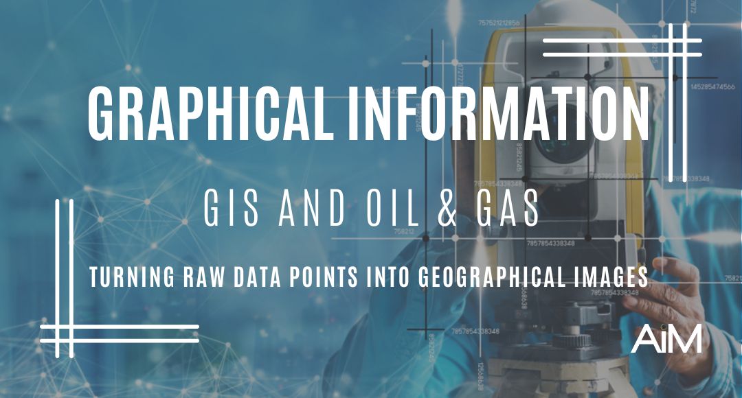
GIS and Oil & Gas
GIS and Oil & Gas
The oil and gas sector is strongly connected to geography with many aspects that are spatial in nature. From surveying, to drilling, to refining, to delivery all collect a lot of data and everything has a geographical reference. This is why the geographic information system, or GIS, comes into play as an extremely vital tool in the industry.

What is GIS?
We now know that GIS stands for geographic information system, but what is it really?
As a theoretical concept, GIS is the intersection of data/information and location. As a real-world application: GIS software organizes, analyzes, and displays data in relation to a location.
With GIS it’s important to remember the a few things:
- GIS data is always related to a location
- Different organizations define and use GIS differently
- Mapping software is a huge category and no two platforms are exactly the same
What are some of the fundamental things that you can do with GIS?
- Mapping
- Analytics
- Data management
- Asset management
- Change detection
- Project Planning
In particular we are going to look at how GIS works in the Oil and Gas sector.
“Geographic Information Systems (GIS) have major potential for contributing to the necessary geospatial analyses and visualization methods for awareness-building and decision support”
What Can GIS do in the Oil & Gas Sector?
As mentioned above from location and extraction, to field work management, to resource transportation -geography plays a significant role in how the oil and gas industry operates GIS for oil and gas enables advanced mapping and spatial analytics, increasing operational efficiency through rich location intelligence.
With GIS, oil and gas operators can:
- Capture, analyze, and store data about potential drill sites
- Analyze how potential project areas are affected by the habitats and environment around them
- Layer data for effective pipeline mapping
- Manage field teams remotely
- Conduct analysis of exploratory wells
- Receive real-time updates about site or pipeline status
Let’s explore how a GIS is used in each of the three primary components of Oil and Gas.

Upstream, Midstream & Downstream Oil & Gas
As we know, oil and gas is an extensive industry and operations are broken into three specific categories: upstream, midstream, and downstream.
Upstream
Search – Recovery – Production
Upstream oil and gas cover both exploration and production: encompassing the search, recovery, and production of crude oil and/or natural gas.
One of the most significant activities during this phase is the drilling and operation of exploratory wells. Desktop GIS technology is particularly helpful during this exploratory phase.
Upstream oil and gas operations require precision and a high degree of technical sophistication. Desktop GIS provides the heavy-duty analysis and visualization tools necessary to manage these processes.
Once a resource is extracted, the upstream phase is considered complete.
Upstream GIS Application: Wellsite Planning
With the rise of unconventional resources like shale gas, shale oil, and coal bed methane, GIS is being utilized more and more for well planning.
GIS helps users to plan well pad patterns around multiple surface drilling constraints, as well as optimize for the most efficient drill pattern configuration.
With GIS, users can integrate various data types, compare between current and prospective land holdings, evaluate potential sites quickly, and streamline internal decision making.

Midstream
Processing – Transportation – Storage
Midstream operations is the “conduit” that connects the upstream and downstream sectors. In the midstream sector, oil and natural gas are processed, stored, transported, and sometimes marketed to wholesale customers.
Here the primary concerns are generally logistical: focusing on how resources can be moved and processed most effectively.
When we think of midstream, we primarily think of pipelines and other transport systems. Daily operations involve moving crude oil from production sites to refineries, or from natural gas plants to downstream customers.
There is some amount of overlap between upstream, downstream, and the midstream sector. In other words, few operators are strictly midstream, and many upstream and downstream operators manage some midstream components.
Midstream GIS Application: Pipeline Routing
Building transport pipelines is an expensive process. If the pipeline doesn’t take the best route from the upstream source to the downstream facility, overall costs rise quickly.
Pipeline routing can be simplified with a process called “least-cost path analysis.”
As the name suggests, this process identifies the route of least resistance between upstream and downstream.
Least-cost is determined not just by finding a straight path, but on the effort needed to pass.
A user can create cost raster datasets that include information on slope and land-cover, using those variables to help determine level of estimated effort.
As an added benefit, GIS can also determine a more environmentally friendly route.

Downstream
Refining – Sales
Downstream oil and gas operations focus on refining both crude oil and raw natural gas, as well as sales and distribution to customers.
Unlike upstream and midstream, the downstream sector is responsible for retail operations, so a significant facet of downstream operations is marketing.
Downstream oil and gas assets include petrochemical plants, natural gas distribution outfits, oil refineries, and retail operations such as gas stations.
This sector covers production and management of final oil and gas products. This includes obvious substances such as gasoline and diesel, as well as hydrocarbon-based products such as fertilizer, preservatives, and plastics.
Downstream GIS Application: Refinery Management
Refinery management involves organizing data, informing operational decisions, and reducing costs. Essentially, it’s a type of asset management – a task for which GIS can be quite helpful.
With GIS, downstream operators can manage refineries more effectively: tracking status, managing maintenance schedules, and estimating asset lifecycle with greater accuracy. With real-time data shared seamlessly between teams, refinery managers can use GIS to predict asset health and build a preventative maintenance schedule: mitigating risk and helping to avoid costly, unexpected breakdowns.
Conclusion
Overall, GIS is an incredibly useful tool that offers significant benefits across every sector of the oil and gas industry. From increased efficiency in well planning and pipeline routing, to effective refinery management and emergency response, to better environmental monitoring – GIS has the potential to optimize almost every step of the oil and gas process.
The AiM GIS and Analytics Department provides the necessary support to internal departments so they can provide our clients with visual/spatial information and analytics to help them make the most informed decision. We deliver this through pdf/paper maps or through interactive/web mapping. We also provide our clients with data management and automation in order to maximize the results while minimizing the costs.
To learn more reach out to Jordan Blouin, GIS and IT Manager | Email: jblouin@aimland.ca | Direct: 403-648-5437
#gis #mapping #analytics #upstream #midstream #downstream #oil #refinery #pipelines #wellsite