
FUSION
FUSION

Where Data Meets Decisions
Where Data Meets Decisions
Better visibility
Access project information in real time through intuitive dashboards and mapping tools.
Better decisions
Transform complex datasets into actionable intelligence.
Better collaboration
Connect project teams, stakeholders, and decision-makers through a shared platform.
Better outcomes
Reduce risk, improve efficiency, and support successful project delivery.
Transforming Project Data into Actionable Intelligence
Fusion is AiM’s integrated geospatial intelligence and project analytics platform, designed to provide clients with real-time visibility into every aspect of project execution. By bringing together land, environmental, Indigenous Relations, archaeology, regulatory, stakeholder, and project data into a single platform, Fusion eliminates information silos and creates a centralized source of truth for project teams and stakeholders.
Built specifically for complex infrastructure, energy, utility, renewable energy, and resource development projects, Fusion™ provides the tools needed to visualize project progress, identify risks, monitor performance, and make informed decisions with confidence.
A Smarter Way to Manage Projects
Traditional project data is often spread across spreadsheets, databases, maps, reports, and multiple software systems. Fusion consolidates these data sources into one intuitive platform, allowing project teams to access critical information quickly and efficiently.
Whether managing thousands of land agreements, monitoring regulatory approvals, tracking Indigenous consultation activities, or reporting project progress to executive leadership, Fusion™ provides the visibility needed to keep projects moving forward.
Features in Detail
Fusion Analytics
Fusion turns project data into meaningful business intelligence.
Our advanced analytics capabilities help clients:
- Identify emerging risks
- Forecast project performance
- Improve resource planning
- Monitor key performance indicators
- Support regulatory reporting
- Track stakeholder commitments
- Improve decision-making
- Enhance project predictability
Secure. Scalable. Accessible.
Fusion is built to support projects of all sizes—from small operational programs to large-scale capital developments involving thousands of stakeholders and multiple regulatory jurisdictions.
Key benefits include:
- Secure cloud-based access
- Real-time data updates
- Mobile accessibility
- Client-specific dashboards
- Executive reporting tools
- Interactive mapping
- Automated reporting
- Scalable project architecture
Data Integration
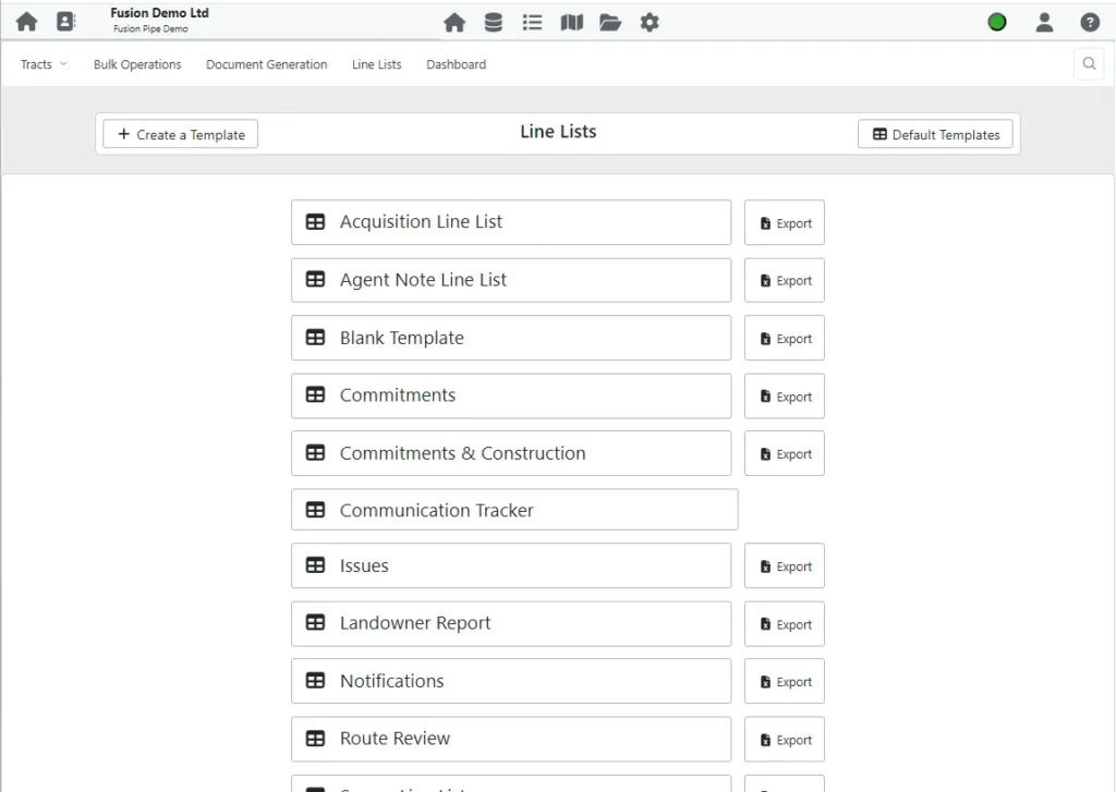
Fusion integrates data from multiple sources, creating a centralized project management environment:
- Land systems
- GIS databases
- Regulatory databases
- Environmental datasets
- Stakeholder management systems
- Project controls platforms
- Client systems and databases
- Document management systems
Interactive GIS Mapping
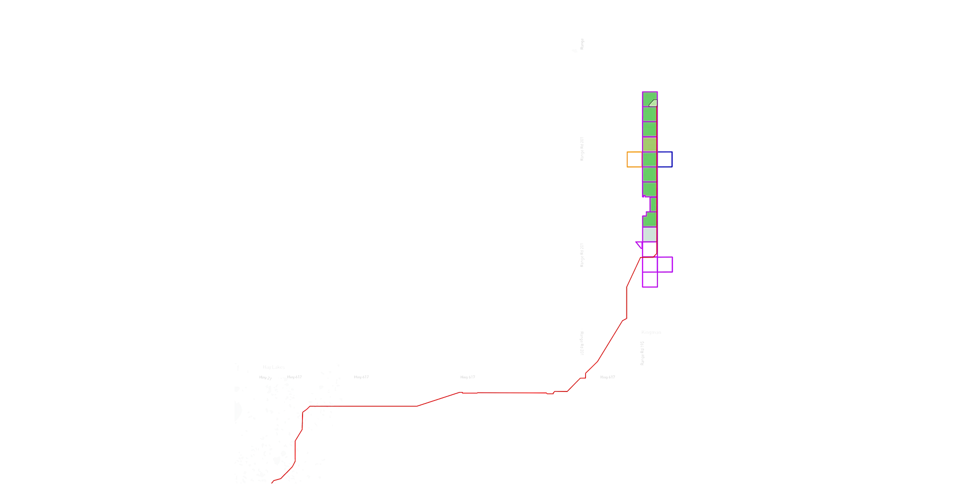
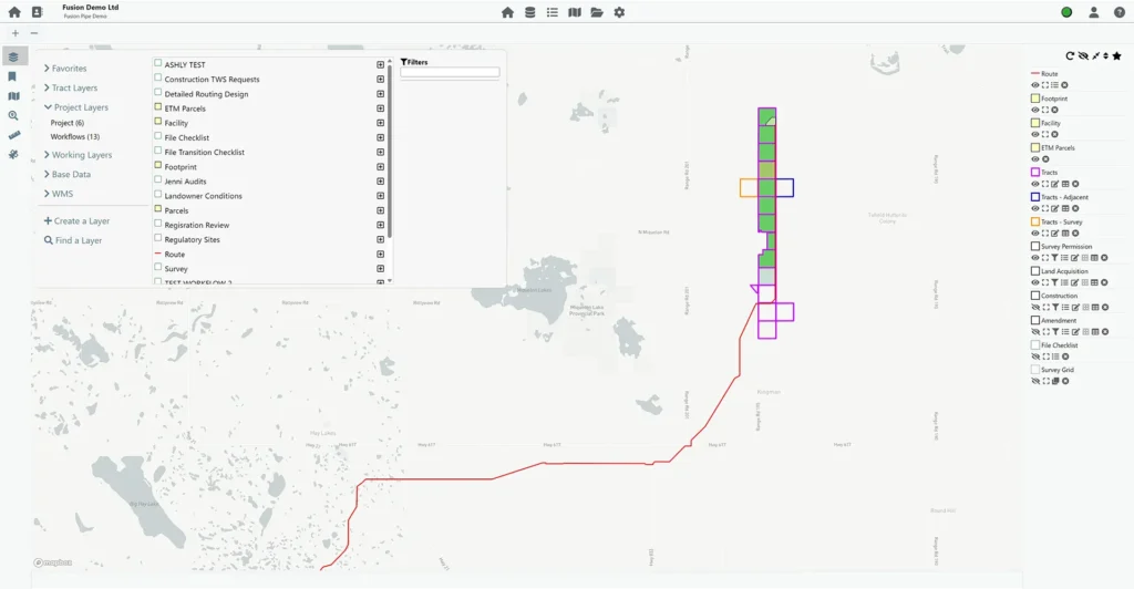
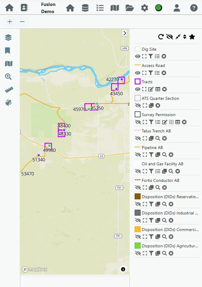
Visualize project information through powerful web-based mapping tools that provide real-time access to:
- Project routes and facilities
- Land ownership and tenure information
- Stakeholder and engagement data
- Regulatory approvals and permit status
- Environmental constraints
- Indigenous community interests
- Construction progress
- Asset and infrastructure locations
Project Dashboards & Reporting
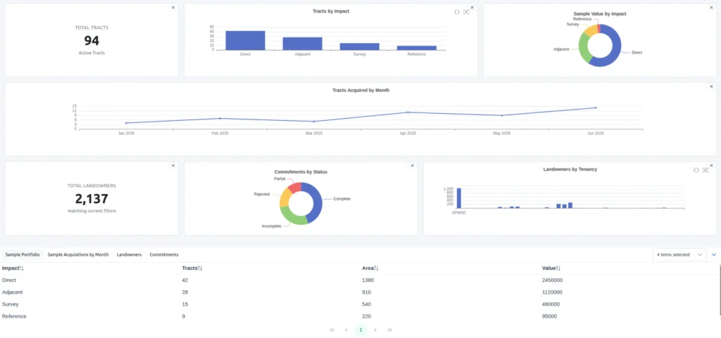
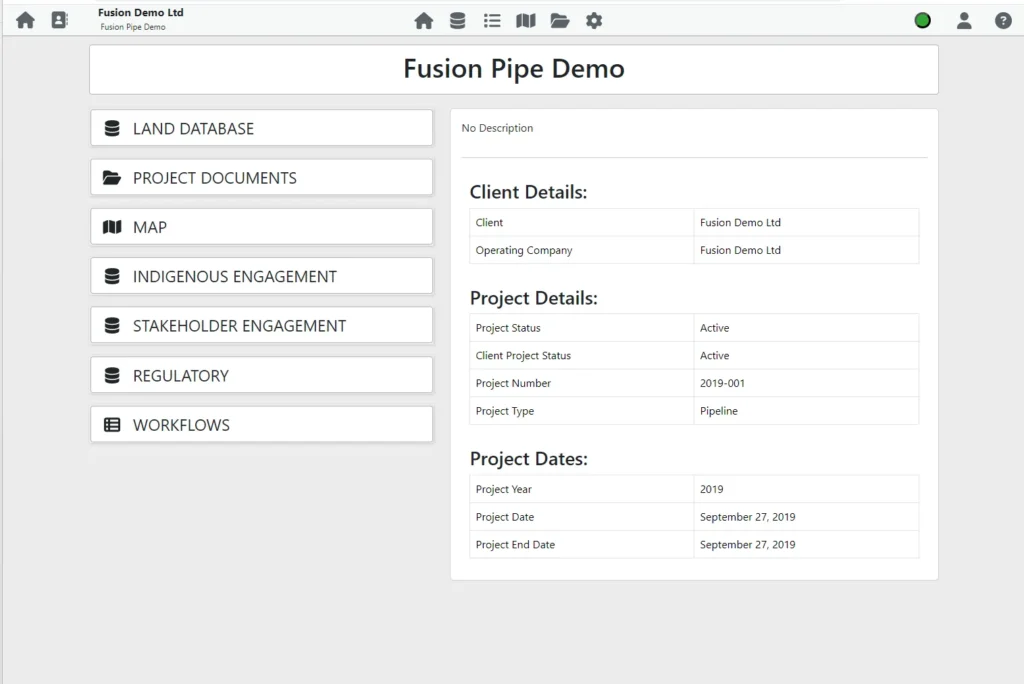
Monitor project performance through customizable dashboards including:
- Project progress tracking
- Land acquisition status
- Stakeholder engagement metrics
- Regulatory approval tracking
- Indigenous consultation reporting
- Budget and schedule performance
- Risk management reporting
- Executive-level project summaries
Data Integration
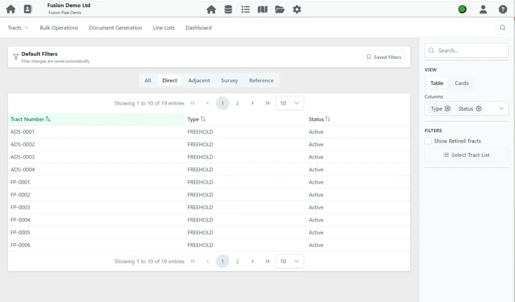
Fusion integrates data from multiple sources, creating a centralized project management environment:
- Land systems
- GIS databases
- Regulatory databases
- Environmental datasets
- Stakeholder management systems
- Project controls platforms
- Client systems and databases
- Document management systems
Features in Detail
Fusion Analytics
Fusion turns project data into meaningful business intelligence.
Our advanced analytics capabilities help clients:
- Identify emerging risks
- Forecast project performance
- Improve resource planning
- Monitor key performance indicators
- Support regulatory reporting
- Track stakeholder commitments
- Improve decision-making
- Enhance project predictability
Secure. Scalable. Accessible.
Fusion is built to support projects of all sizes—from small operational programs to large-scale capital developments involving thousands of stakeholders and multiple regulatory jurisdictions.
Key benefits include:
- Secure cloud-based access
- Real-time data updates
- Mobile accessibility
- Client-specific dashboards
- Executive reporting tools
- Interactive mapping
- Automated reporting
- Scalable project architecture
Data Integration
Fusion integrates data from multiple sources, creating a centralized project management environment:
- Land systems
- GIS databases
- Regulatory databases
- Environmental datasets
- Stakeholder management systems
- Project controls platforms
- Client systems and databases
- Document management systems
Interactive GIS Mapping
Visualize project information through powerful web-based mapping tools that provide real-time access to:
- Project routes and facilities
- Land ownership and tenure information
- Stakeholder and engagement data
- Regulatory approvals and permit status
- Environmental constraints
- Indigenous community interests
- Construction progress
- Asset and infrastructure locations
Project Dashboards & Reporting
Monitor project performance through customizable dashboards including:
- Project progress tracking
- Land acquisition status
- Stakeholder engagement metrics
- Regulatory approval tracking
- Indigenous consultation reporting
- Budget and schedule performance
- Risk management reporting
- Executive-level project summaries
Data Integration
Fusion integrates data from multiple sources, creating a centralized project management environment:
- Land systems
- GIS databases
- Regulatory databases
- Environmental datasets
- Stakeholder management systems
- Project controls platforms
- Client systems and databases
- Document management systems
One Platform. Multiple Disciplines.
Fusion is designed around AiM’s integrated service model.
Surface Land
Track acquisitions, agreements, landowner communications, access permissions, and project milestones.
Indigenous Relations
Monitor consultation activities, commitments, engagement programs, opportunities, and participation metrics.
Environmental
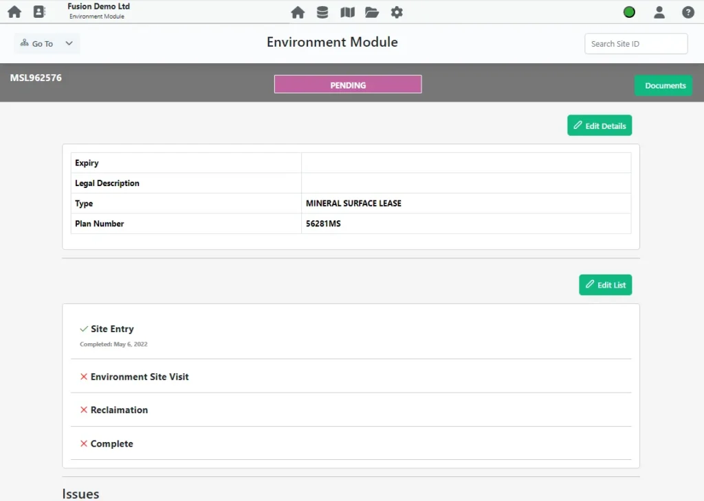
Manage environmental constraints, approvals, assessments, mitigation measures, and monitoring programs.
Regulatory & Permitting
Track applications, approvals, permit conditions, and compliance obligations.
Archaeology & Cultural Resources
Monitor assessment status, permitting requirements, field activities, and mitigation programs.
Project Controls
Integrate schedules, budgets, milestones, and reporting into a single project environment.